Part 1 of 3
By Tudor Davies
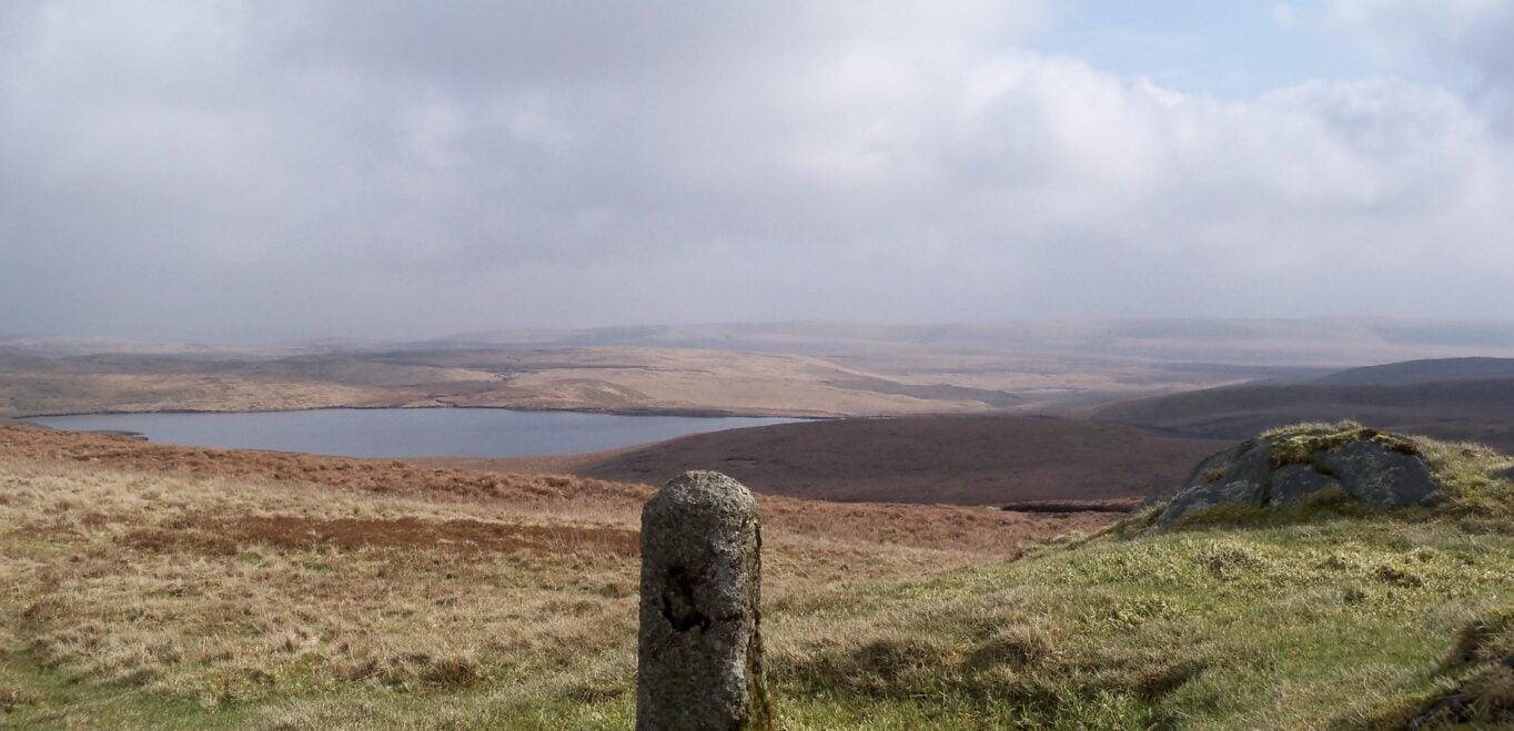
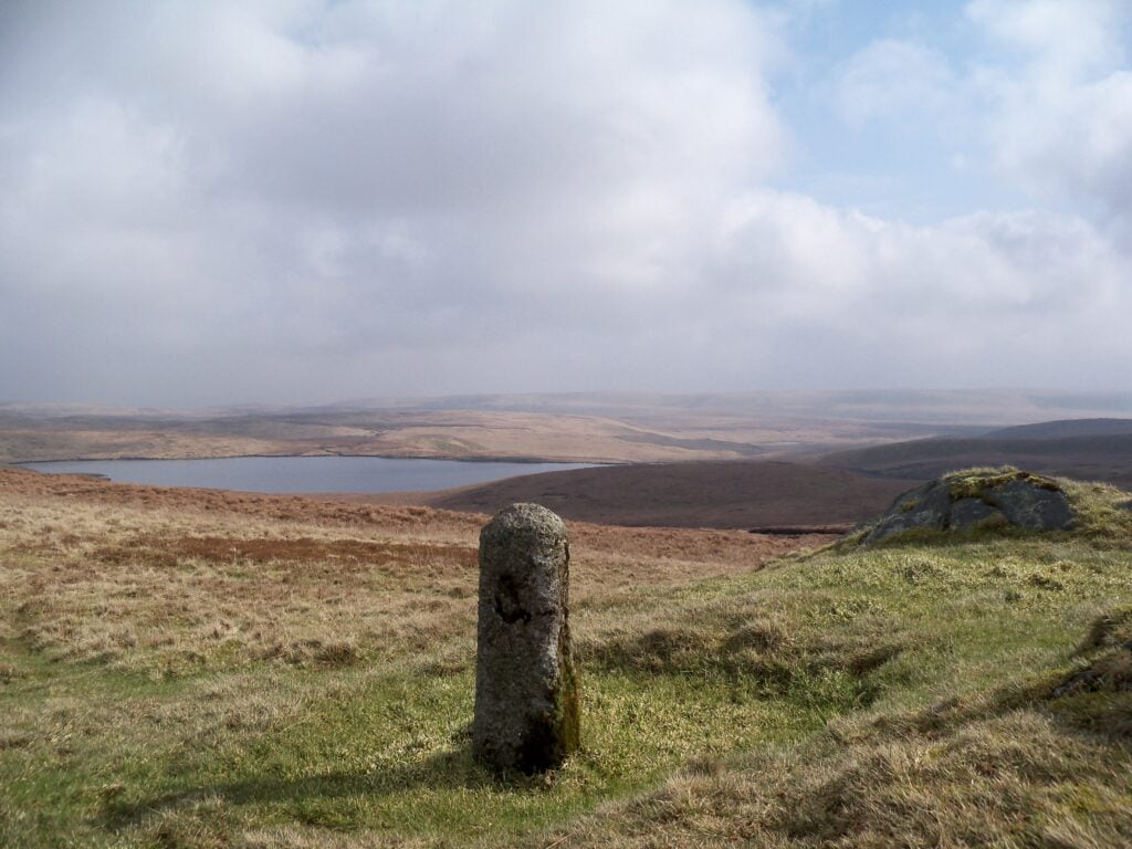
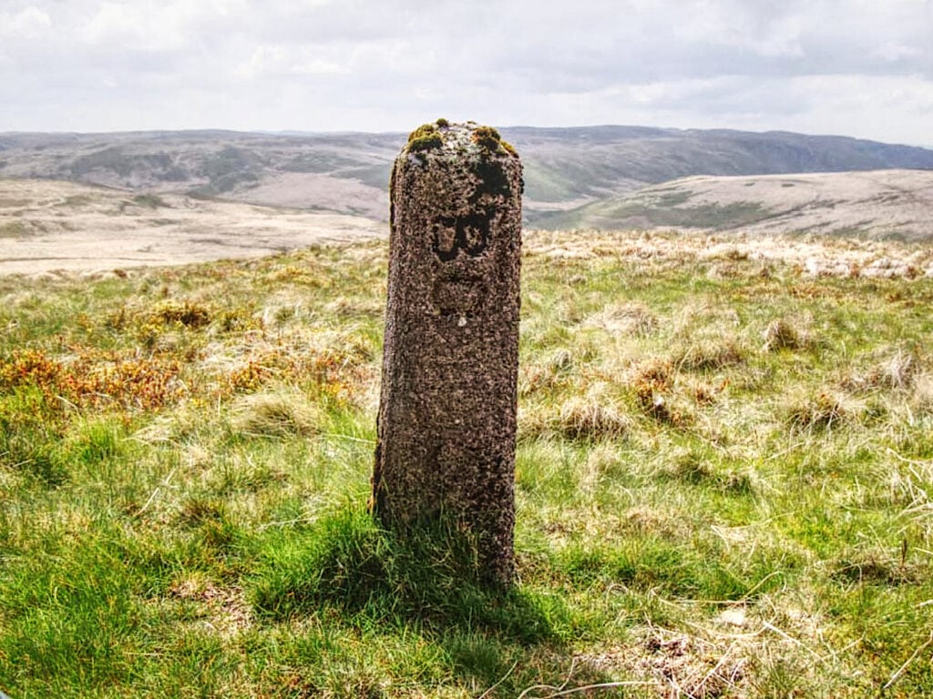
Elan Estate boundary markers primarily consist of early 20th century concrete posts stamped with the letters BC (for Birmingham Corporation). Erected around 1913 following the 1892 Water Act, these markers trace the original watershed and catchment boundaries on the estate. Dozens of these posts still stand across the remote, inaccessible moorlands surrounding the reservoirs in the Elan and Claerwen valleys.
Over the years, locals have taken on the challenge to walk around the boundary stones, a 44-mile upland hike across remote, boggy moorlands and dense Molinia with deep pockets and high tussocks. With no established footpaths, very few sheep tracks and no mobile reception, this is not for the faint-hearted!
In 1970, two tenant farmers on the estate, the late Ambrose Davies and the late Bonnie Rees took on the challenge and walked the boundary wearing their shepherds clothing, footwear being wellington boots, in a time of 15 hours and 39 minutes. This was a great achievement in the days before GPS, smartphones and technical walking equipment and accessories, as we have today.
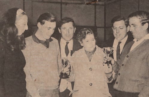
This photograph was extracted from a newspaper clipping kindly donated by Tudor. It shows Mrs Morgan (Centre) admiring the cups presented to Mr. Bonnie Rees, Mr. Ambrose Davies, Mrs J. Price, (left), Mr. L .W. Mytton and Mr J. Jones.
Again, in the 1980’s it was walked again in one day by locals Colin Wozencraft, David Thomas, Hugh Owen and the late Dai Owen, all these experienced hill men familiar with the area know it like the back of their hands.
It was done again in 1990 by Tudor Davies and the late Carl Edwards who undertook it all in one day with help from family and friends at various checkpoints along the route.
Part 2 to follow next month of others who have completed the Watershed boundary walk.